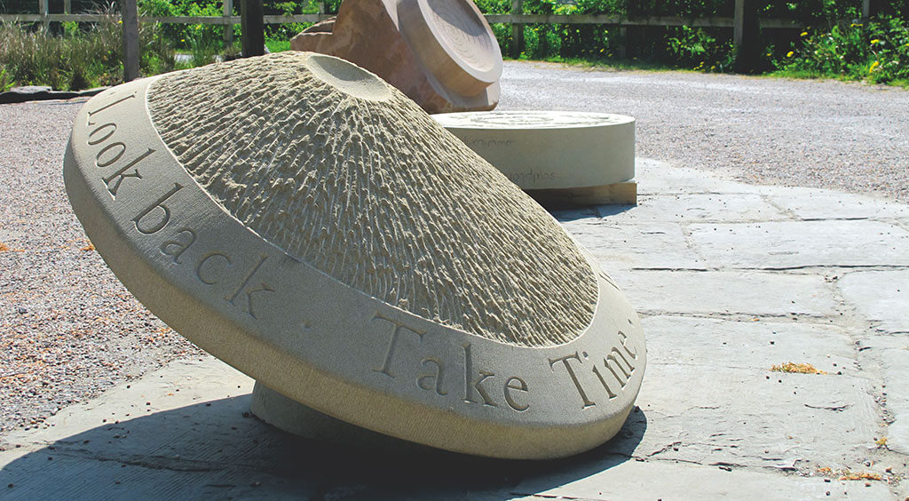
Six artists designed special stones to act as companions to the 300-year-old guide posts across Peakland, as Judith Parker Dixon reports.
THE MOORLANDS OF THE PEAK DISTRICT have always presented challenges for travellers; particularly before the development of turnpike roads early in the 18th Century. Although the population of the upland areas was sparse, there was still a need for the movement of tradespeople such as pedlars and tinkers. Knowledge of routes would be passed on by word-of-mouth, rock formations used for guidance and natural gaps in the hills such as Curbar Gap and Winnats Pass utilised. Also, cairns were sometimes set up by the travellers themselves. Functional maps weren’t available until the 1760s. Even then, there were few who could afford them or were literate enough to read them…

