A walk around the edge of the Peak District sheds light on what land made it into the National Park 70 years ago, as well as what was left out, as Andrew McCloy reports.
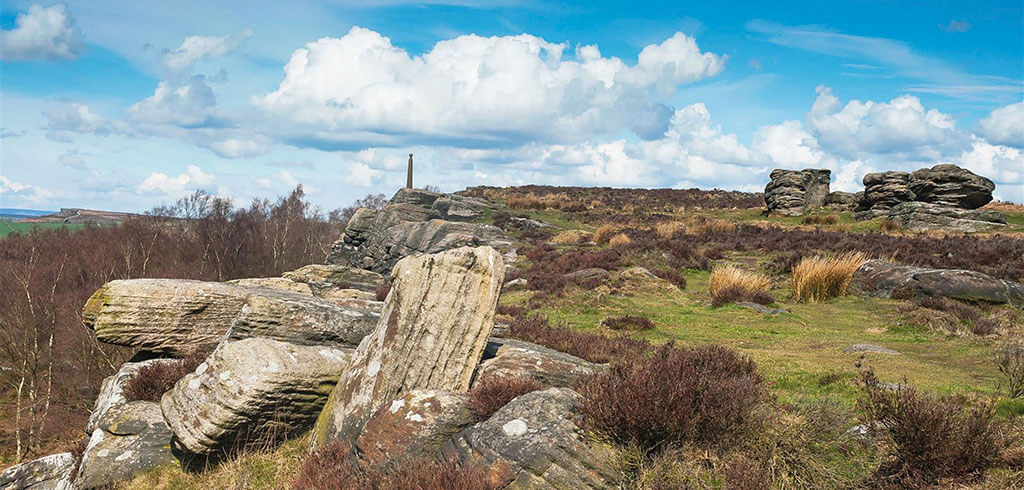
AS the Peak District National Park celebrates its 70th anniversary in April, a popular walking trail around its boundary provides a useful reminder why the 555 square miles of dales and moorland was designated in the first place, as well as why the border ended up where it did. The 192-mile (309km) Peak District Boundary Walk
traces the entire perimeter of Britain’s first National Park, from the Derbyshire Dales and Staffordshire moorlands to urban Oldham and Sheffield. It can be tackled in short daily outings or as a continuous trail over a fortnight. The route itself follows public paths, tracks and lanes as close as possible to the boundary of the National Park; shunning most of the well-known honeypot sites for an altogether quieter Peak District…