This month’s walk – compiled by Steve Brown – takes in breezy limestone pastures, three contrasting dales, strange rocky outcrops and two lovely villages.
The initial part follows the route of the Limestone Way, a 46-mile path from Castleton to Rocester in Staffordshire. There’s something of interest for everyone throughout this fascinating expedition!
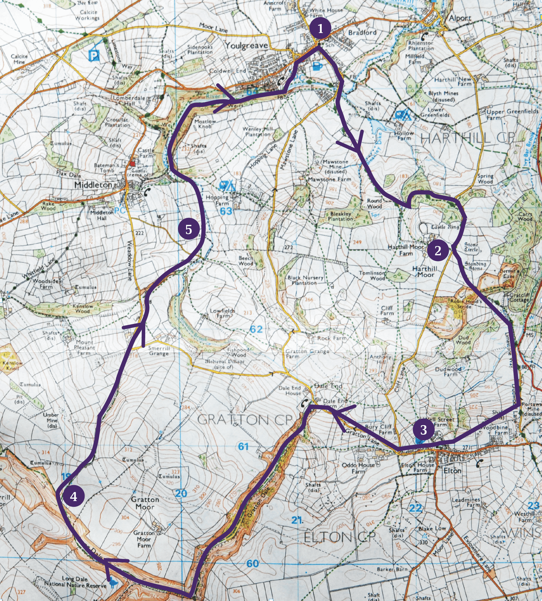
| Map | OL24 Explorer White Peak |
| Start | Youlgrave village. On-street parking is available but please be considerate to residents. Alternative parking at the Moor Lane Picnic Site, about a mile from the village. The route can be easily adapted to start and finish from there. Grid Ref GR SK1936564492 |
| Distance | 9.5 miles |
| Time | Allow at least 5 hours |
| Total Ascent | 200 metres or 650 feet |
Route
- From the centre of Youlgrave, by the splendid All Saints Church, take the lane descending south into Bradford Dale, bearing right part way down into Stoneyside with the allotments on your right. At the bottom of the hill, cross the stone bridge over the River Bradford and follow the narrow path straight ahead to a road. Turn right here for a few yards then take the clearly signposted Limestone Way footpath through a gate on the left. The well-marked path crosses a series of fields before dipping to cross a stream in a shallow valley. Continue up the slope ahead making for the left of three prominent trees. By the tree is a forlorn squeezer stile, the wall it was part of having long disappeared. Bear left around the hill ahead on a cart track with excellent views behind back towards Youlgrave to reach a prominent three-way signpost in the valley bottom. Turn sharp left here, almost back on yourself, and head across the slope to a wicket gate giving access to a track in a wood. This contours the hillside within the woodland to eventually reach a lane. Turn right up this to soon arrive at a multiplicity of signs and finger posts by the junction of the lane to Harthill Moor Farm.
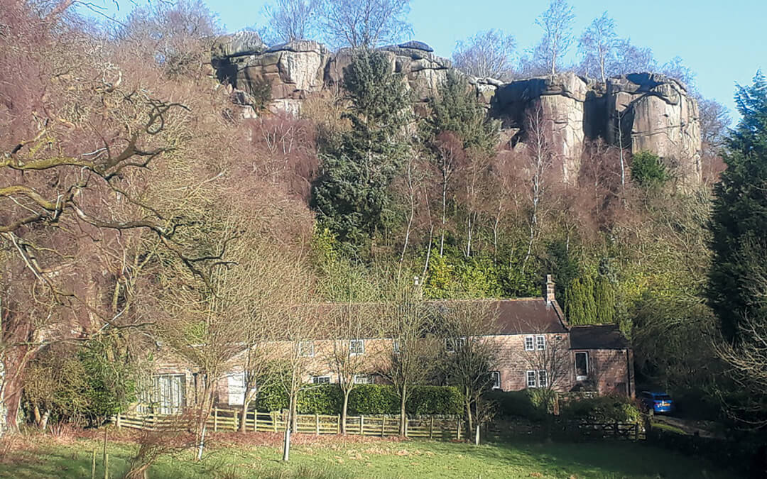
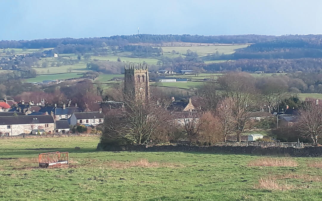
- At this point the rocks of Robin Hoods Stride, sometimes known as Mock Beggars Hall, are clearly visible across the fields to the left so head for them along the obvious path. The outcrop can be visited when you reach it as it is access land and it is possible to scramble up to the saddle between the two pinnacles. The adjoining outcrop of Cratcliffe Tor and the little Hermitage shrine, hidden in trees just to the East, can also be visited via a stile or, lower down the hill, a gate by a seat in the surrounding wall. However our route descends from Robin Hoods Stride over a stile below the outcrop then down a green path which eventually joins the way of concrete strips giving access to the cottage below Cratcliffe Tor; these reach a road junction in the valley ahead over a cattle grid. Turn right then immediately left here to ascend the narrow lane ahead. Pass Dudwood Cottage and shortly after a small barn on the left, where the road is steepening, forsake the Limestone Way for a signposted path over a stile on the right to the village of Elton. Make an ascending traverse of the pasture ahead with great prospects back over Cratcliffe Tor and Robin Hoods Stride to your right and keep above a line of trees ahead until a close grouping of three tall poles carrying power cables comes into view at the top of the slope. From here Elton village can be seen in front and, using the church tower as a landmark, aim for it across a small green valley to reach a short path between houses. Carry on into the churchyard ahead to enter the village street between the school and the church itself.
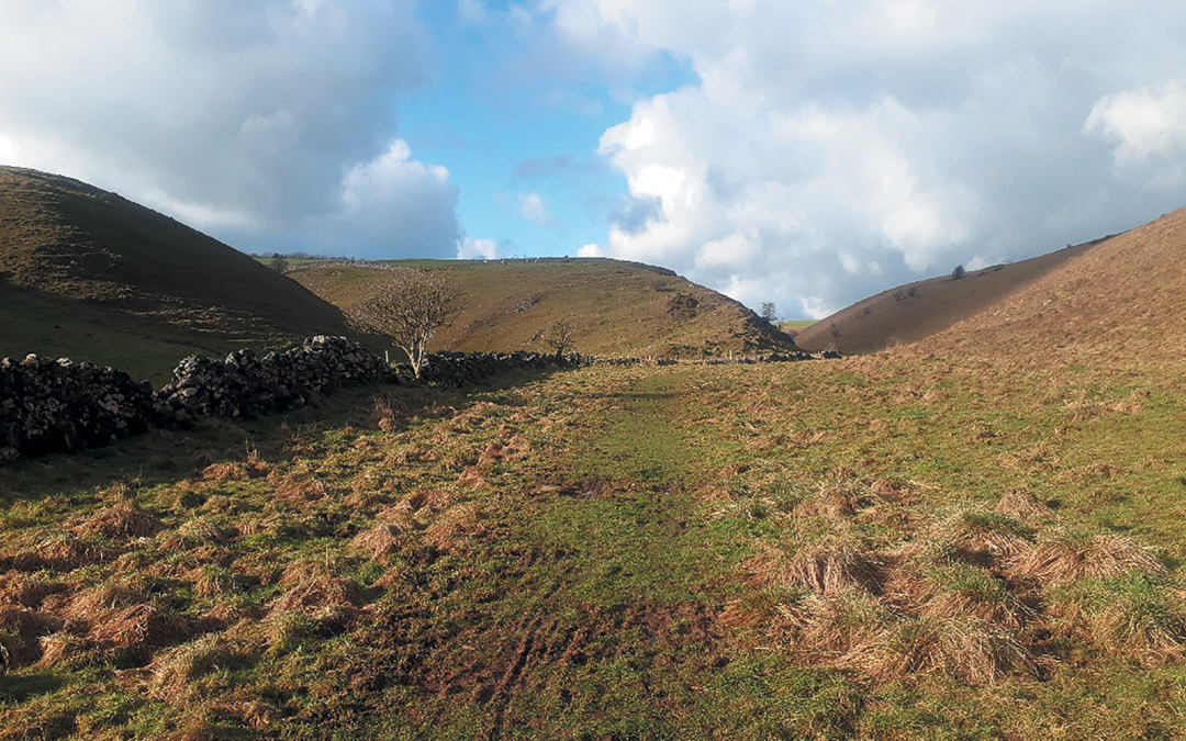
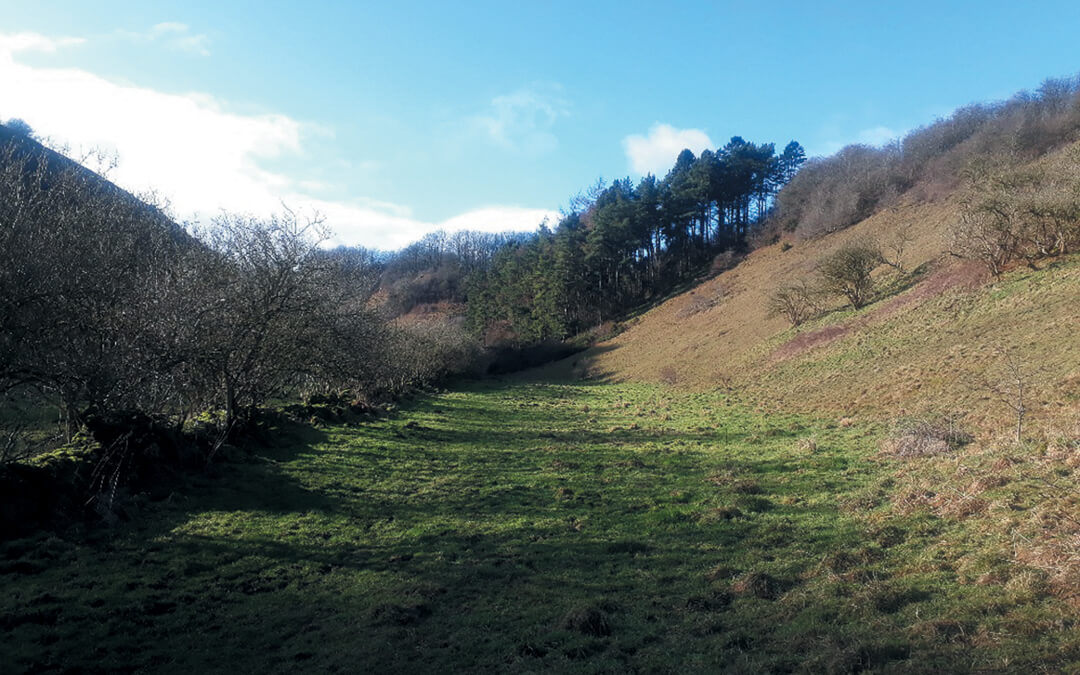
- Turn right along the street passing the Duke of York pub on your left. Further along the street note the cottage on the left where Alf Gregory, the photographer on the successful 1953 Everest expedition, lived from 1975 until 1996. The road descends to a three-way junction of lanes at the west end of the village. There is a footpath route from here to Gratton Dale but it is extremely muddy and difficult to follow. It is, therefore, better to follow the middle of the three quiet lanes, Gratton Lane, down to the telephone box at Dale End Farm where Gratton Dale itself starts. Take the signposted route on the left into the confines of the dale passing a lime kiln on the right. Follow the obvious path up the valley for about two kilometres. Gratton Dale is dotted with small crags on its sides and sporting light woodland and scrub on the lower slopes. The scrub grew up due to a lack of grazing but is now being thinned to restore the dale to a more open aspect. It contrasts completely with the next valley, Long Dale, which is entered at a very obvious right-angled junction near the head of Gratton Dale through a bridle gate by a wall junction. Long Dale is much more open, a green trench in the plateau and a haven for wild flowers in the late Spring. Follow the track up the valley for another 1.5 kilometres until it crosses the wall on the left through a gateway by an enclosure containing some upright inscribed stones. This is one of the “Sites of Meaning” with marker stones commemorating the millennium. Take the sloping green track ahead to the top of the valley side and bear right through a gate.
- Follow the bridleway with the wall on your right; Youlgrave village and church can now be seen in front if it’s a clear day. After a short walled section with a gate at each end, the bridleway slowly descends a shallow valley and reaches another gate where it becomes a walled lane descending to a sharp bend on Weaddow Lane just above Home Farm. Turn left down the lane past the farm and where the road crosses the small valley ahead, take the stile on the right over the wall. The path doesn’t go down the obvious dale ahead but ascends the slope on the right through the trees to a gap in the wall on the left at the top of the slope. Keeping the wooded valley on your left, keep along and down the pastures to where the slope steepens into the valley bottom. Just before the river (a dried-up bed at times) is reached cross the wall to the left by a waymark post and continue to a small lane which is crossed via a wicket gate then a stile.
- The path continues down the valley until the obvious entrance to the confines of Bradford Dale is reached. Cross the river or dry bed by the stone clapper bridge, go up and left along the track then left again down the metal steps to the valley floor. The path crosses the river again then passes a strong spring from which the River Bradford emerges in the drier months. On reaching a larger track it just remains to turn right on this and, with the river and the fishing dams to your left, walk down the delightful Bradford Dale to a footbridge below Youlgrave where the opposite bank is reached. Take the lane ahead, passing the village hall, to the main street of the village and turn right to the church, just a few short steps away.


