Judith Parker Dixon creates a lovely walk this month over much of the Chatsworth Estate.
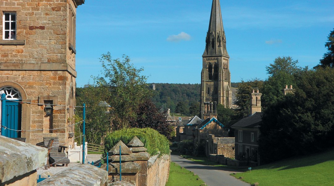
THIS undulating walk presents outstanding views of the Chatsworth Estate and surrounding area. The route leads upwards through Calton Lees to reach open pasture. We discover the Ball Cross Companion Stone and the ancient guide stoop before descending into Edensor, then heading across pasture back to the car park.
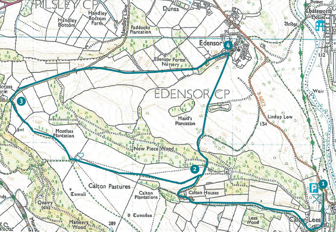
| Map | Ordnance Survey OL 24 Explorer Map. |
| Start | Carlton Lees car park; off the B6012, near Chatsworth Garden Centre. Grid Ref SK 258 685 |
| Distance | 6.5 miles |
| Time | Allow at least 3.5 hours |
| References | The Guide Stoops of Derbyshire, by Howard Smith. For more about Companion Stones go to www.companionstones.org.uk. |
Route
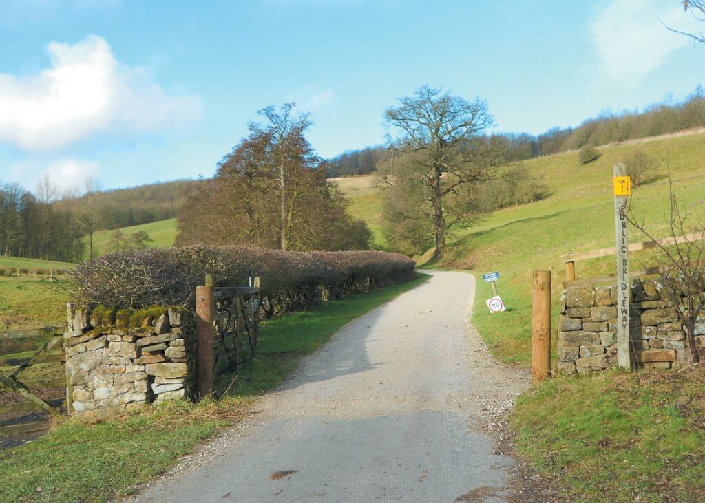
- Leave the car park to turn right on the access road, and walk past the left turn to the Garden Centre. Continue ahead, to the hamlet of Calton Lees. At a grassed triangle, keep ahead on the public bridleway (signpost), whilst ignoring the right fork, which is a private road. With a stream on your left, proceed gradually uphill to a sharp, steep, right- hand bend, followed by a sharp, left-hand bend, leading to a cattle-grid and Calton Houses. A short detour on a path (right of the left-hand bend) leads to a seat – offering a superb view. Go through the hand-gate to the left of the cattle-grid, to walk past the converted holiday cottages. Soon, the roadway narrows to a stony, walled track, with woodland on either side. Continue uphill to pass through a gate and turn right. Follow this path, keeping a wall and woodland (right) and a grassy bank (left). As the grassland opens out, go through a gate in a fence and keep on the path leading towards the tree-line ahead. As the path advances, a solitary ‘Russian’-style cottage comes into sight. When directly opposite the cottage, turn left at the finger-post.
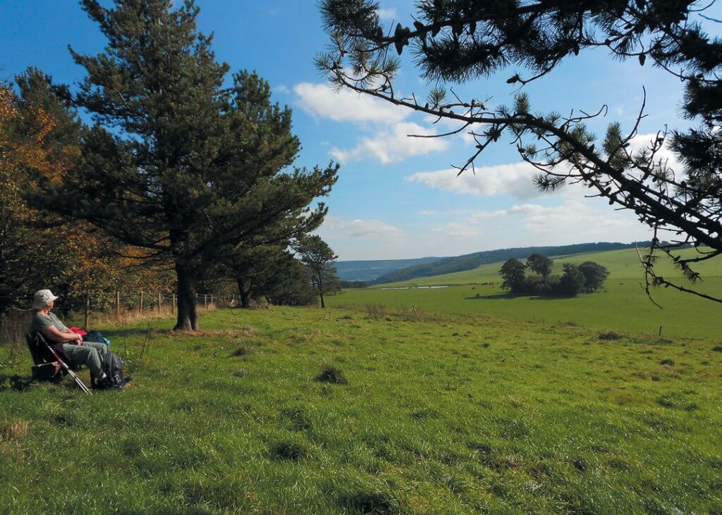
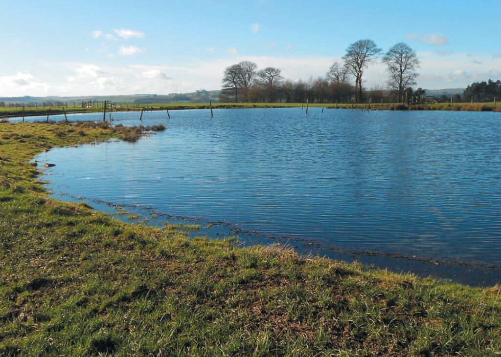
- Keep to this path/track across the pasture, to cross a stile by a gate. Where the path becomes less clear, maintain direction between a wall and trees (far right), and a fence and grassland (far left); before veering slightly left to meet a gate in the fence to your left. A large pond will have come into view. Turn right through the gate to go through another gate close to the water. Continue forward towards Ball Cross (waymarked). Keeping a copse of trees on your left, continue across the pasture and up the steep grassy mound ahead. On top of this mound, to the right, is a seat in front of a fence and trees. It is worth the short climb from the path to reach this ideal picnic stop and appreciate the exceptional view. Return to the path, staying ahead to access a walled track through a gate with an adjacent stile (can be very muddy here). Proceed to another gate and stile which lead directly to the road, just above Ball Cross Farm to your left.
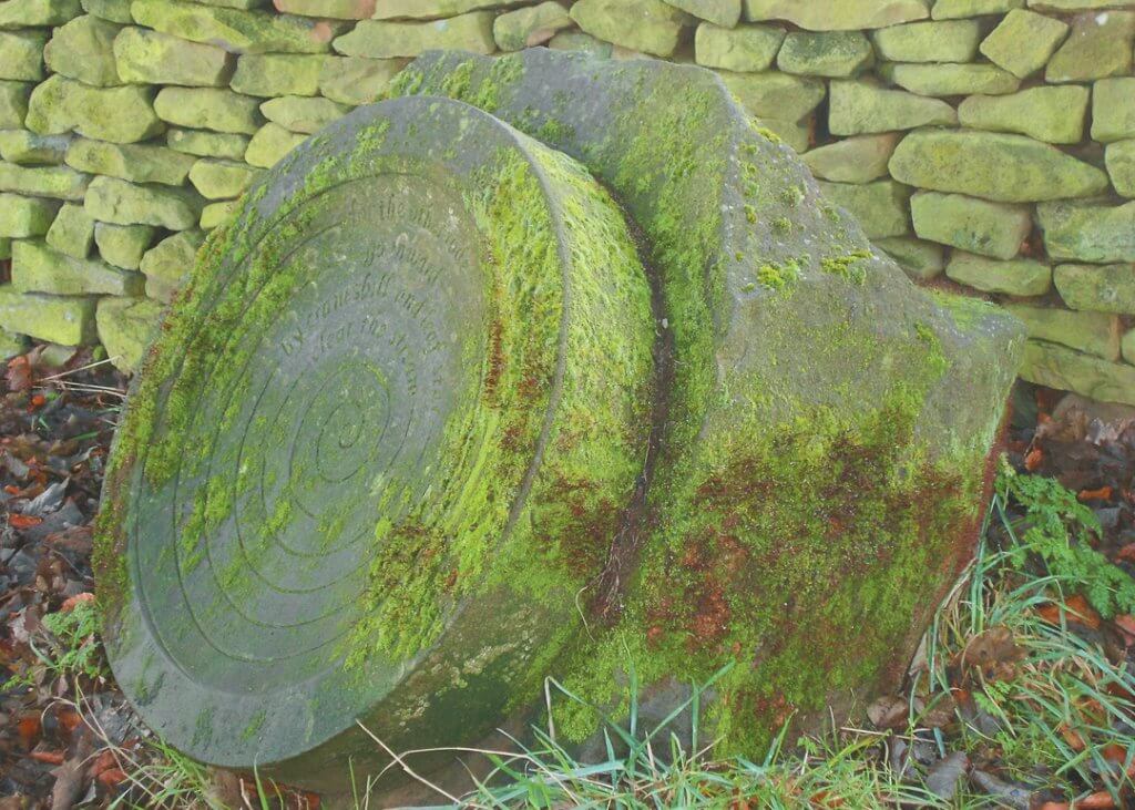
- Turn right and follow the road, firstly uphill, then downhill, to take the right fork at a Y-shaped junction. A few yards into this unmade lane you will meet the Ballcross Companion Stone (right) and the 300-year-old guide stoop (left). This Companion Stone is circular in shape, etched with a spiral – the poem offering direction towards nature itself. Since its installation in 2010, the stone has become ‘accepted’ by the landscape as mosses and lichens grow on it. The guide stoop can be seen just over the wall, in the corner of a field opposite. This stoop is a Grade II-listed monument, and is only one of five in the Peak District with lower-case lettering. Its pointing hands direct the traveller: east to Chesterfield, north to Sheffield and west to Bakewell. The name Ball Cross is possibly a version of Bar Cross, where a medieval cross stood at the top of the steep bridleway, or bar. Walk down this stony lane, taking care as it becomes more rutted. Keep ahead where it becomes a tarmac lane and continue downhill into Edensor.
- At the end of a tall grassy bank, but before the church, turn right at a signed footpath. Take care up the uneven, stone steps to a metal gate which leads onto expansive grassland. Aim for the marker post ahead (diagonally right) and keep the road in sight. Stay ahead, walking between small groups of trees, to skirt the edge of a fenced wood (left). Walk uphill towards the tree-line, using the marker post for guidance – to climb a stile by a high gate. Enter an enclosed, stony track and walk upwards
to go through another gate onto pasture land. Note the ‘Russian’ style cottage (left). Keeping to the path ahead, retrace your steps downhill, to Calton Houses, Calton Lees and your car.
Editor’s Note: The author of this article, and the publisher, have made every effort to ensure all the information is accurate. However, they accept no liability for any navigational issues or injuries or accidents, that may occur.
